


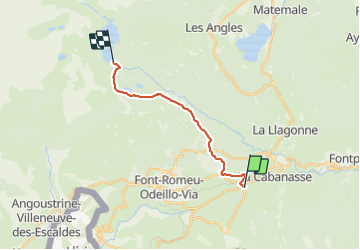

13.3 km | 19.3 km-effort

User


FREE GPS app for hiking
 SityTrail
IGN / Geographical institutes
SityTrail World
The world is yours!
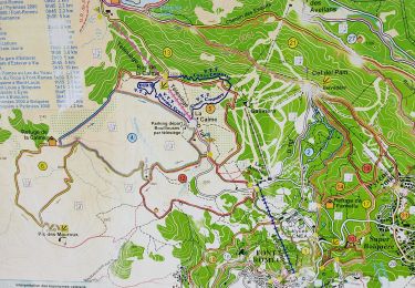
Trail Walking of 14.9 km to be discovered at Occitania, Pyrénées-Orientales, La Cabanasse. This trail is proposed by viaul.
Départ sur la route, après rando sympa


Walking

Walking

Snowshoes

Walking

Walking

Walking

Mountain bike

Walking
Walking